Geocitra Ecosystem
Transforming Asset Data into Dynamic Spatial Information
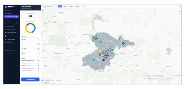
LINTAS (Service Inventory & Asset System Management) digitalizes all transportation infrastructure asset data into an interactive map for accurate oversight, rapid response, and Data-Driven Decision Making.

Core Features
Strategic Impact & Key Advantages
Feature 01
Spatial Visualization (GIS)
Interactive geographic mapping that enables the determination of new Street Lighting (PJU) or CCTV installation locations based on actual blind spots, rather than mere estimates.
Initiated & Developed By:

Help Center
General FAQ & Comparison
Find quick answers to the most frequently asked questions about our systems, implementation, and services.